
.jpg)
.jpg)
.jpg)
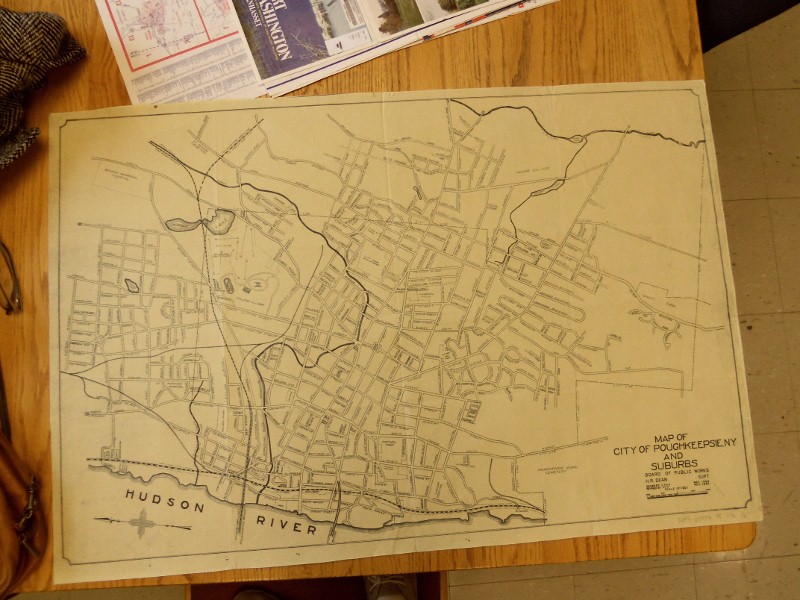
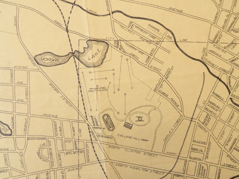
This Board of Public Works 1946 map of the City of Poughkeepsie, NY and Suburbs shows where the property line ends for College Hill Park around Morgan Lake. New Haven's Maybrook Line, the white and black line on the map, once passed through Morgan Lake. Today, the railroad trestle still lies over the northernmost part of Morgan Lake. However, the connection between what we know as Morgan Lake and body of water on the other side of the trestle that extends to Pendell Rd has dramatically receded.
.jpg)
No comments:
Post a Comment